The great news is that there are now tools that will allow you evaluate any given area around any given address, intersection, park, school or zip code as to its safety. These tools are courtesy of the police departments of Las Vegas ( servicing Las Vegas and all the unincorporated areas of the valley), North Las Vegas and Henderson. Below are links to this Las Vegas crime information and a description of the tools involved. Excellent source for Las Vegas crime information.
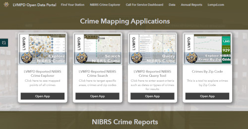
Las Vegas Metropolitan Police Crime View
There are several useful crime mapping applications including search by address.

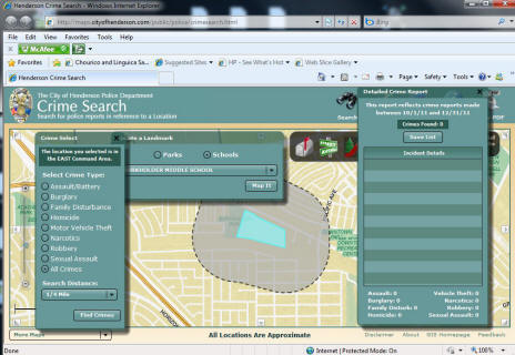
Pretty nifty tool. Allows you to search the area around an intersection, school, park, address or a zip code. Shows numbers for various types of crime for the most recent two month period.

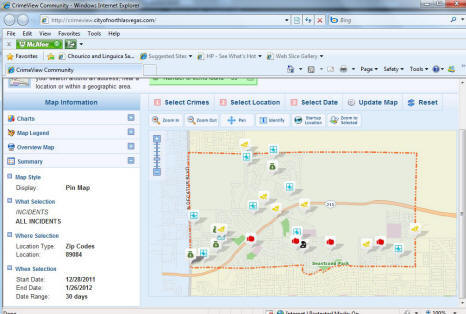
North Las Vegas crime view community
Search by address, intersection council ward, park, police beat, police district and zip code. You can then select a time period of up to 90 days. Results display on a map in the way of icons.
